Ian 194JS
Ian 194JS |
|
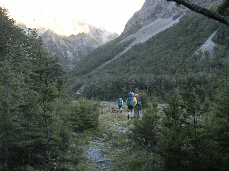
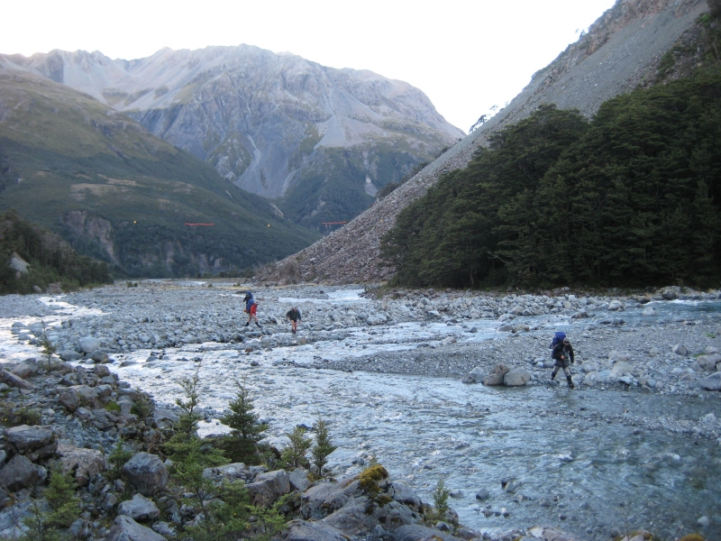
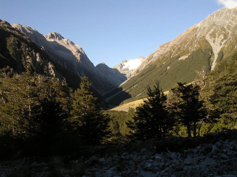
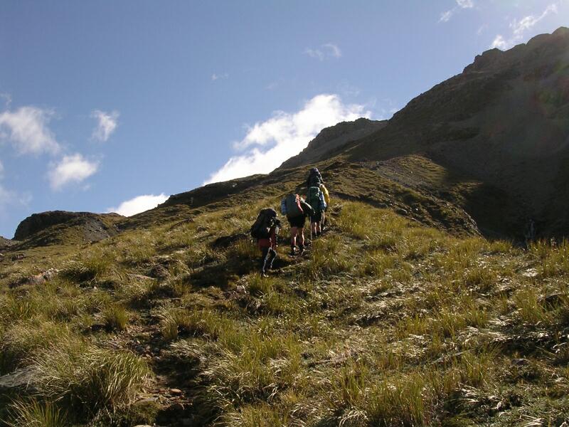
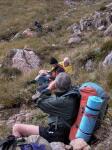
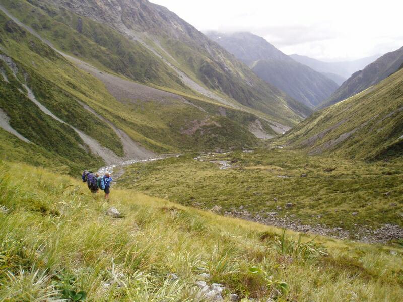
Day 2: (Wed 12th Mar 2008) The Carrington hut was big and dry - just what was ordered. The rain had cleared and the river didn't look like we would need to use the Cloughy Cableway (visible in photo 200IB). The track then heads up the Taipoiti River where one just follows the bolders. Magnificent views up the White Valley to Mt harper and Mt Waheman and its snowfield are seen to the Southwest. | |||
 Heading to pass 172KB |
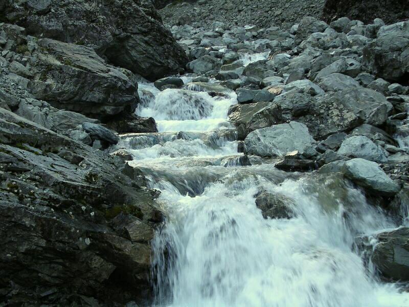
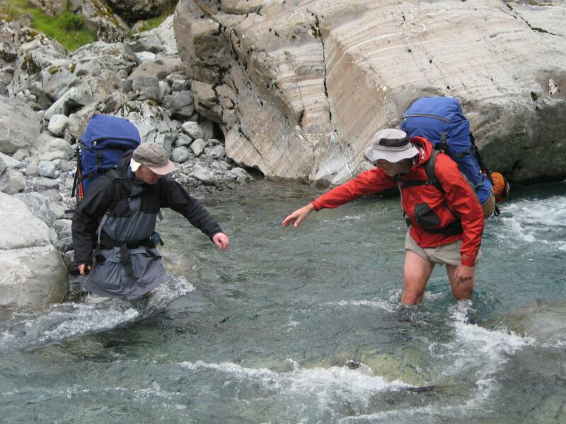
 Crossing upper Waimakariri 200IB |
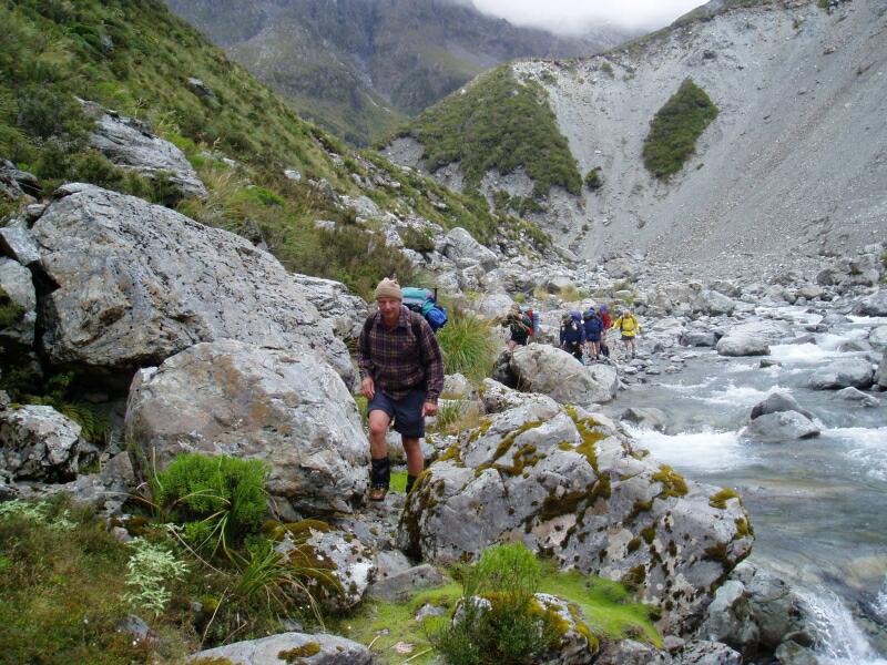
 Heading up the Taipoiti 204KB |
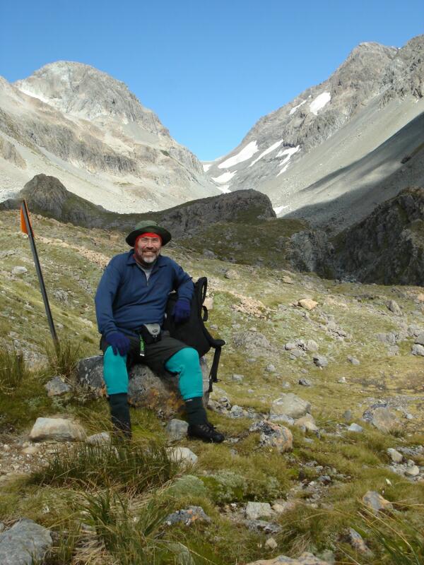
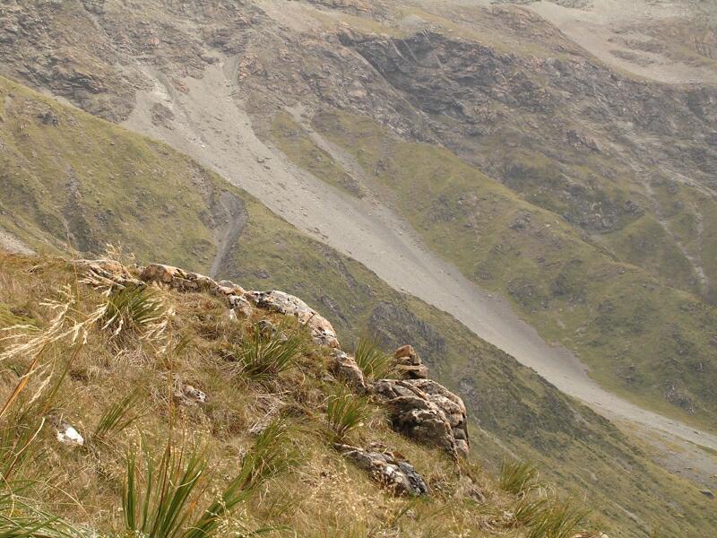
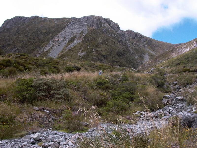
 Looking up the White Valley 212KB |
|
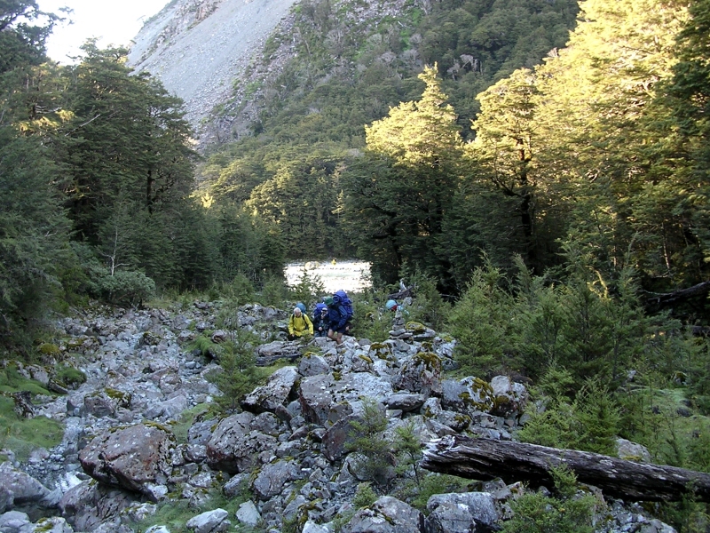
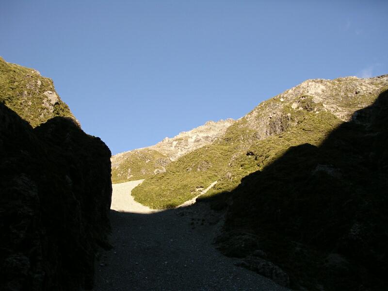
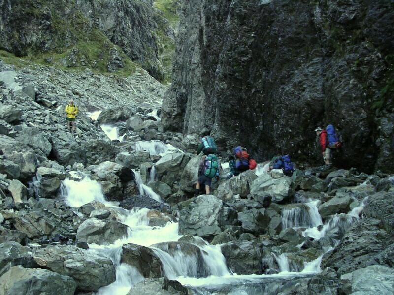
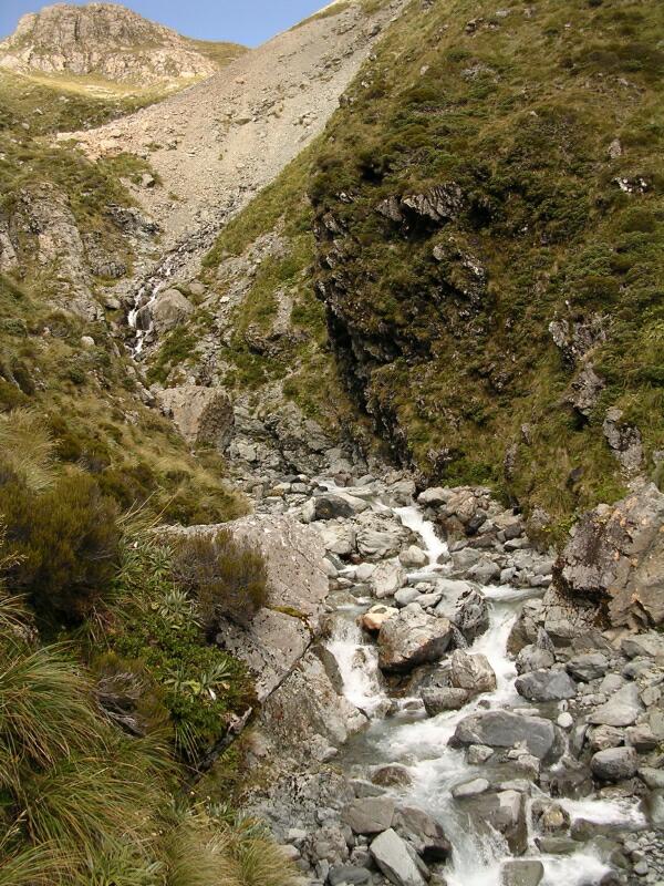
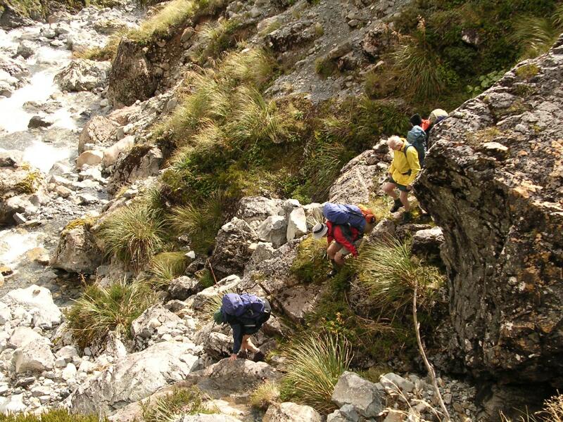
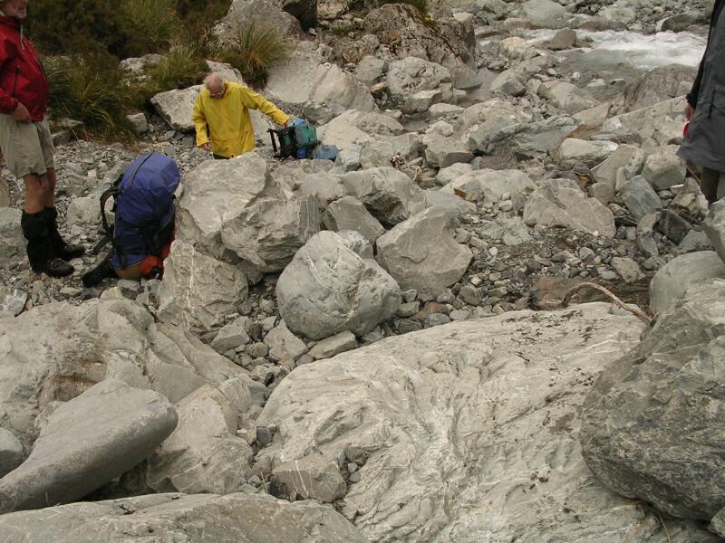
The sides become steeper with rock slides and there were a few dodgy river crossings. until we pass into a canyon-like section of the river, steadily climbing. (mainly misjudgement of the best spot). Carrington hut was big and dry - just what was ordered. The rain had cleared and the river didn't look like we would need to use the Cloughy Cableway (visible in photo 200IB). The track then heads up the Taipoiti River where one just follows the bolders. Magnificent views up the White Valley to Mt harper and Mt Waheman and its snowfield are seen to the Southwest. | |||
 Steeper sides 214KB |
 & steeper slides 226KB |
 Dodgy crossing 228-238KB |
|
 Taipoiti getting more "iti" 244KB |
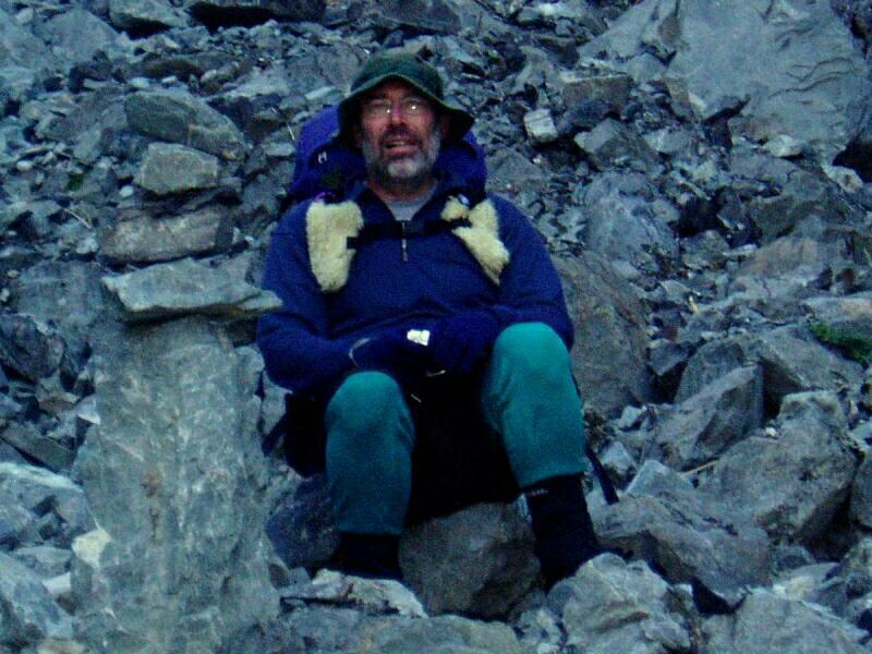 Keith's gloves go on 256JS |
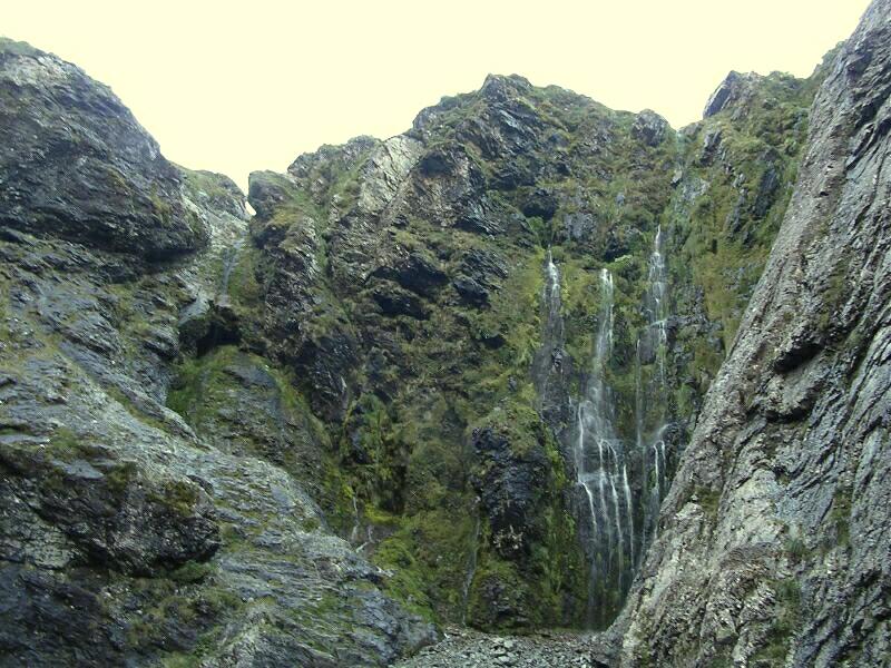 Waterfalls appear 258KB |
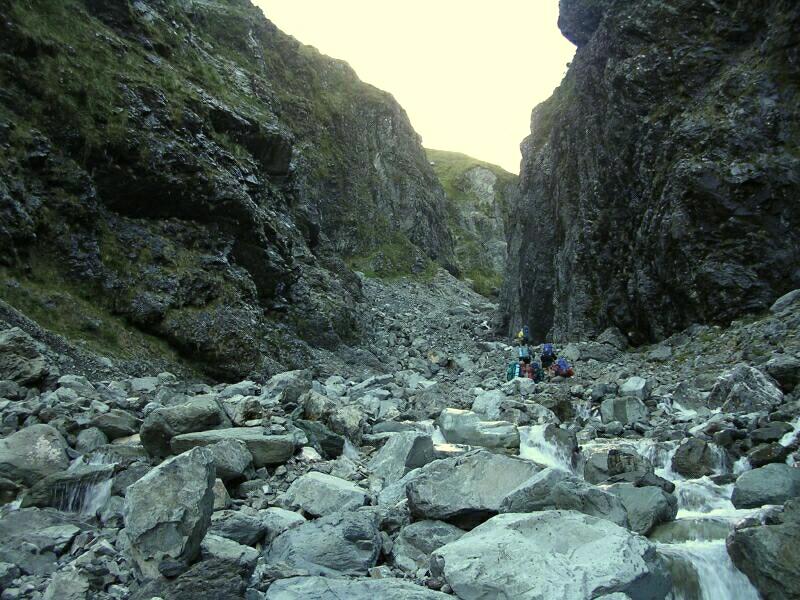 Canyon 260KB |
|
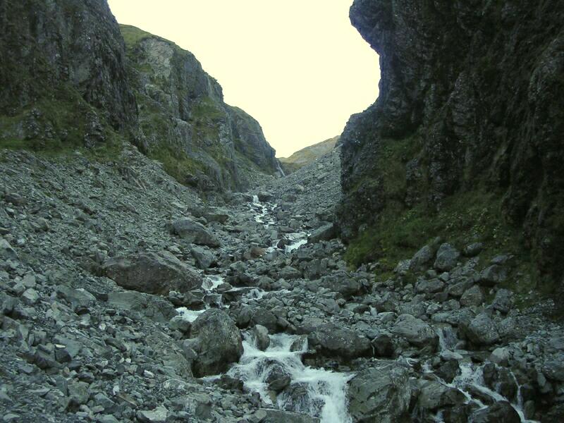
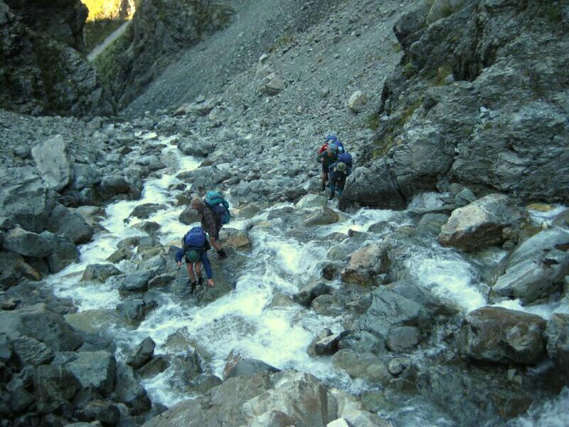
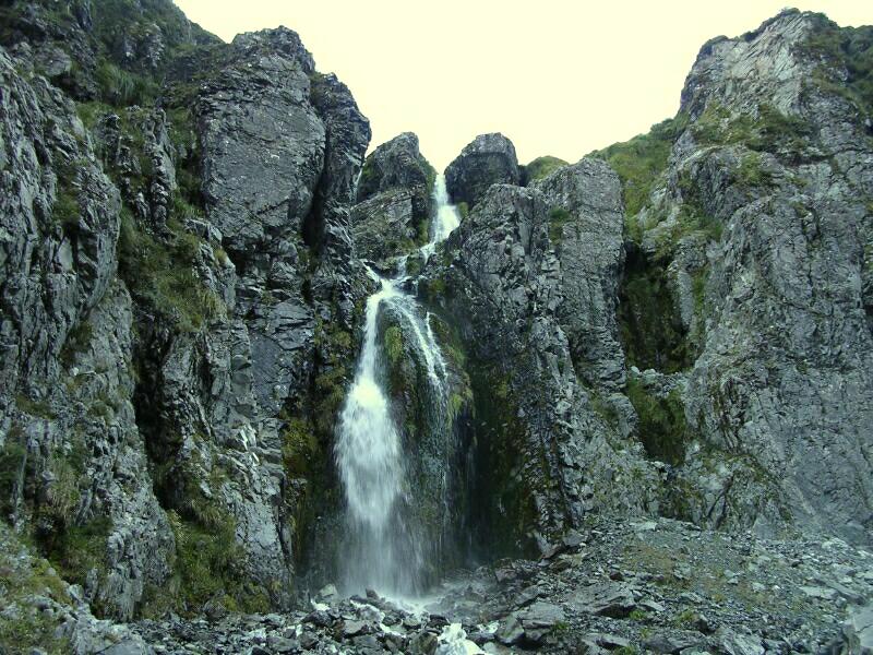
The river became a little more like its name ("iti"=small) but still tricky and the temperature fell (see me "mit handschuh und lange unterhose" in 256JS and 358KB). Actually the polyprop long-johns were excellent for river crossings (warm and dry quickly), but I'll have to do something about the colour! The river "valley" was becoming more a gorge by now with amazing waterfalls appearing since the rain. The river still demanded a greater attention and care with frequent crossings. | |||
 Some chose wrong 270KB |
 Deceptive view 272KB |
 Still very tricky 296IB |
 More falls 302KB |
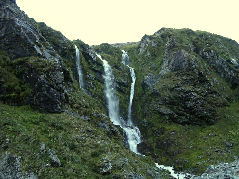 Special display 305KB |
 Composit view of Camp Spur 317-19KB |
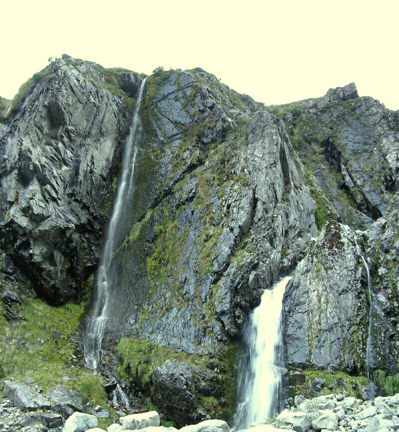 Even more falls 321KB |
|
|
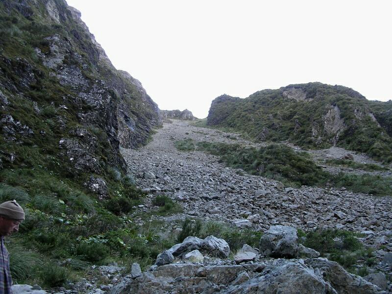
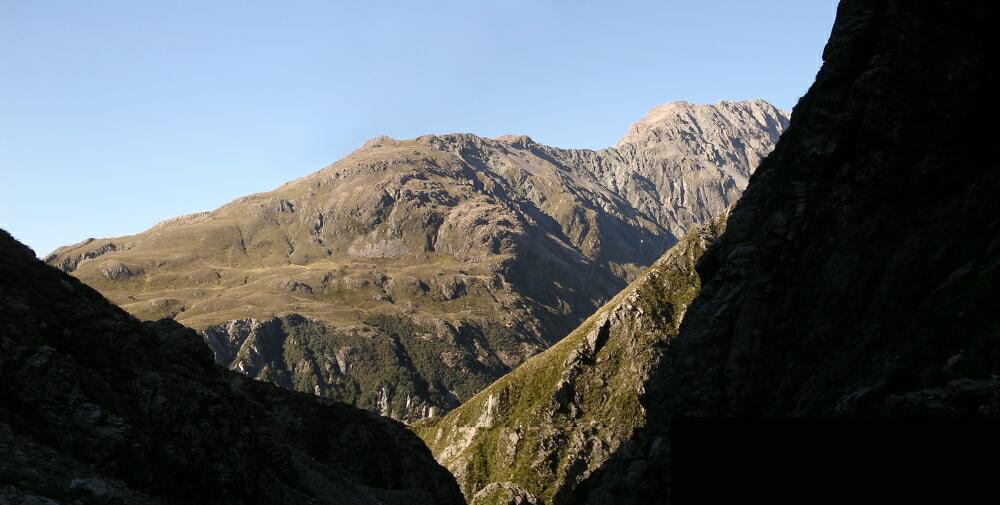
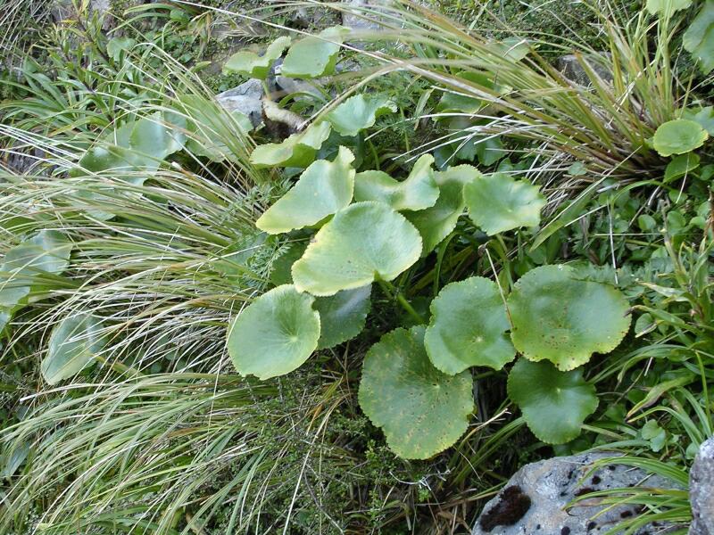
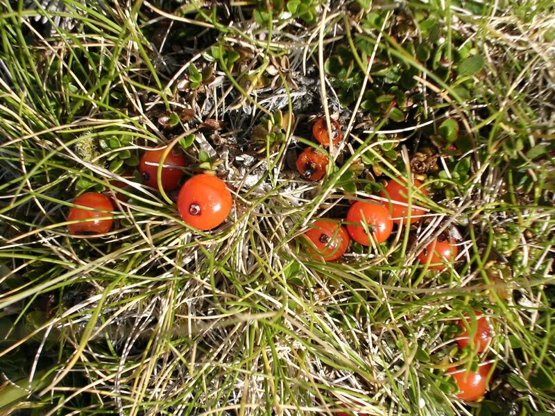
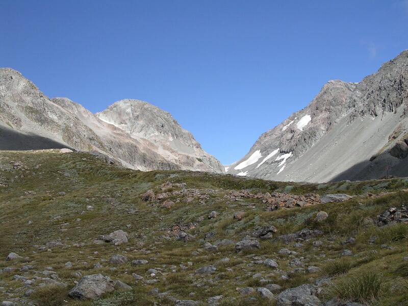
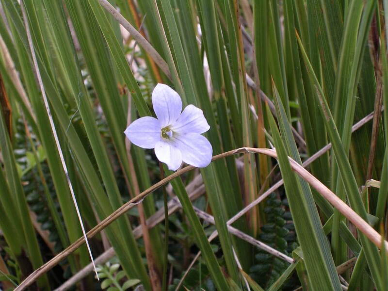
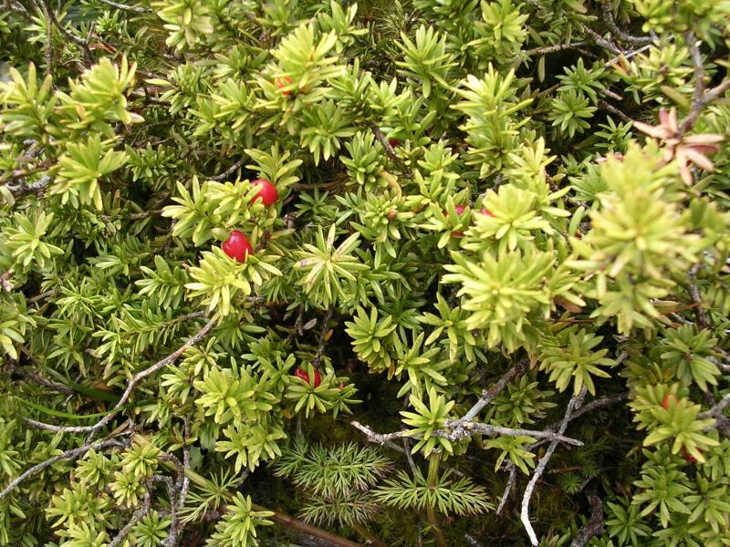
The composit view was taken at 1023am looking back so this is appears to be looking over the Fault Scarps of Camp Spur. Finally we were up on the tops with alpine plants and great views. It was too late for the Mount Cook lily (Ranunculus lyallii) to be flowering (Nov-Jan), but I believe these are the leaves (either that or Forget-me nots!), and the berries are Little Mountain Heath (Pentachondra pumila). | |||
 Ranunculus lyallii 329KB |
 Not there yet 333KB |
 Pentachondra pumila 342KB |
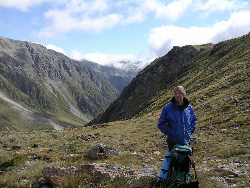
 Mts Isobell (L) & Rosamond 348KB |
 Looking back 353KB |
 Warm but unfashionable 358KB |
 Graham & Mary Valley 362KB |
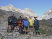 Team on saddle 368KB |
 John S & Mary Ck valley 374KB |
 See result 396AR |
 Source of Mary Creek 398KB |
 Scrambling down 400KB |
 ?Gentiana bellidiflora 404KB |
 Cairn and massive slip 408KB |
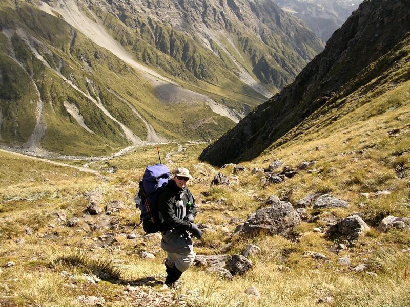
 Where is the track? 422JS |
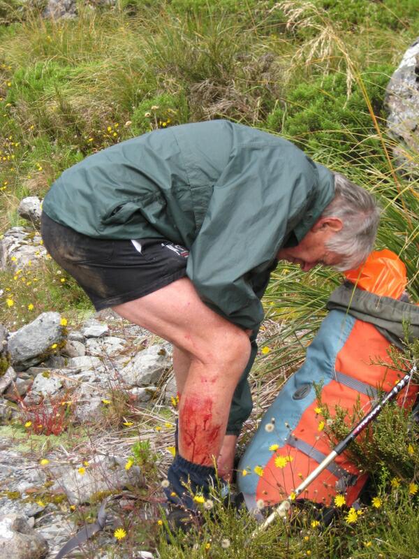 Jim's DIY dermabraision 424IB |
|
The descent was not entirely without mishap. Jim left a fair bit of skin on a rock, the track disappeared and a number of inconsistent marker poles were spotted around the valley floor and I discovered that the clump of grass used to slow up my descent was a variety of Aciphylla ?subflabellata (Speargrass) - NOT advisable!! | |||
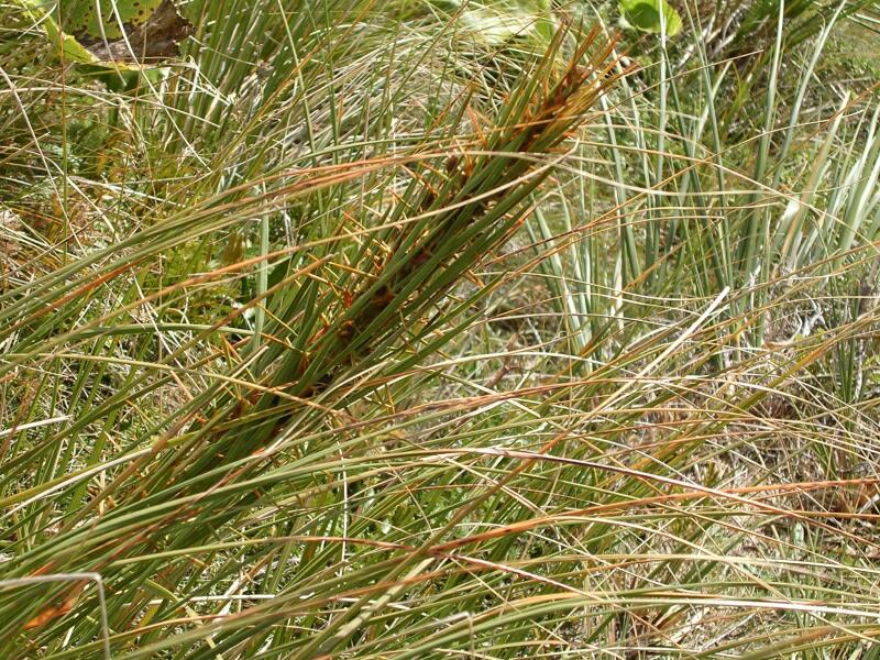 Spear grass hand grip 428KB |
 Lunch view (see pole?) 429AR |
 ?Celtic wall?? 430KB |
 Mountain totara (P. nivalis) 435KB |
|
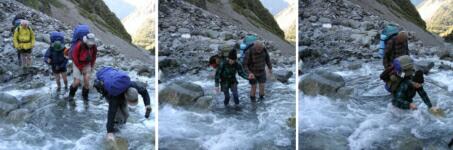
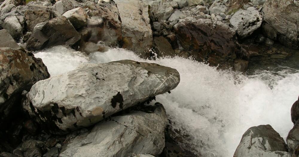
Anyway we knew where we were meant to end up, so by a variety of hazardous routes, we eventually all got to the pleasant spot on the river for lunch. Following lunch, the treck wasn't any safer. There were a number of crossings of the enlarging Mary Creek and climbing over bolders wasn't without risks as I found out when I lost my footing and feel down a few metres onto a rock, | |||
 Composit river 434KB |
 John gives John a hand 437IB | 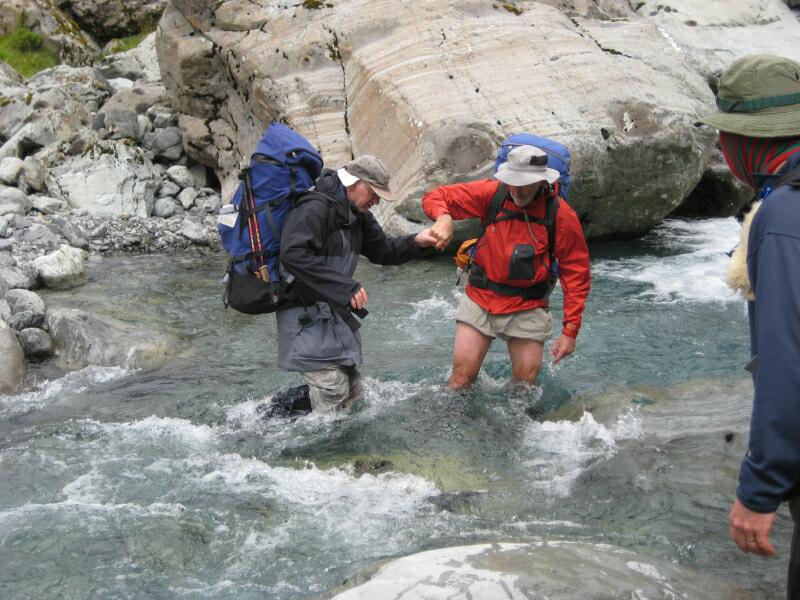 Last view of my hand 439IB |
|
|
dislocating a left middle finger, lifting a skin flap on the right hand and producing a massive bruise over my right hip (which I didn't notice until lying on my right that night!). At least my head was intact. I could reduce the dislocation alone so I applied the traction while the vet (Cathy) pushed it back in place. After buddy-strapping the finger and taping the flap back in position, I was fairly 'armless (well I could use elbows and forearms). Subsequent X-Rays revealed a small volar fracture. | |||
 Banks of the Mary Creek 451JS |
 Crime scene 456KB |
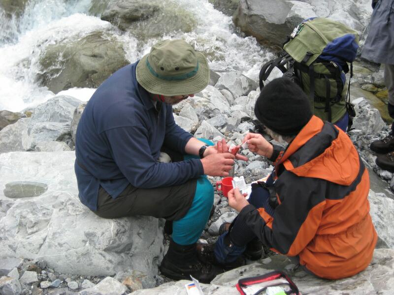 Vet clinic 462IB |
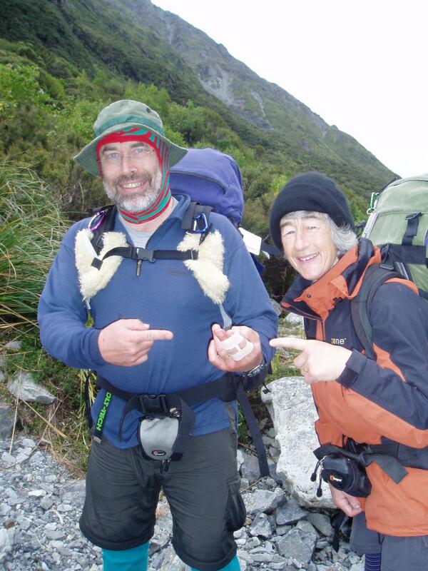 All patched up 469JS |
|
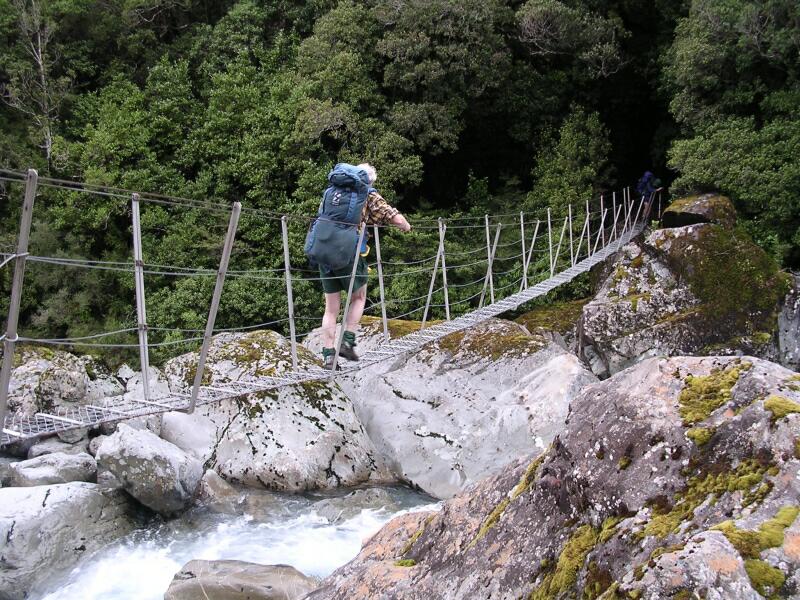
I could still take photgraphs and my legs still worked, so off we all went. There was still crossings to make, a small climb and a swing bridge (quite hard with no hands) before we made Julia Hut. The ring finger was also injured and so I needed to remove the ring once we got to the hut. I thought I would be smart and show everyone how to do this - it worked but was 10x more painful doing it than dislocating and relocating the middle finger! |  Leaving bloody Mary bolders 476KB |
 Last crossing of the Mary 484 |
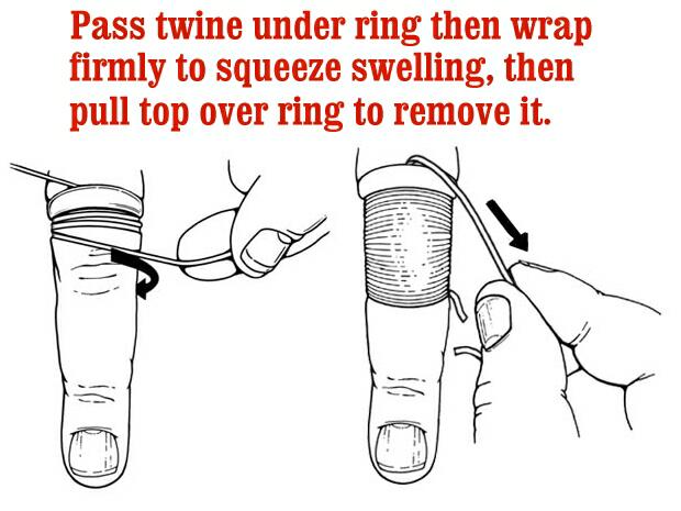 Removing the ring 1 469JS |
Removing the ring 2 469JS |
![]()