Click on picture thumbnails to enlarge or return to Tramping Index
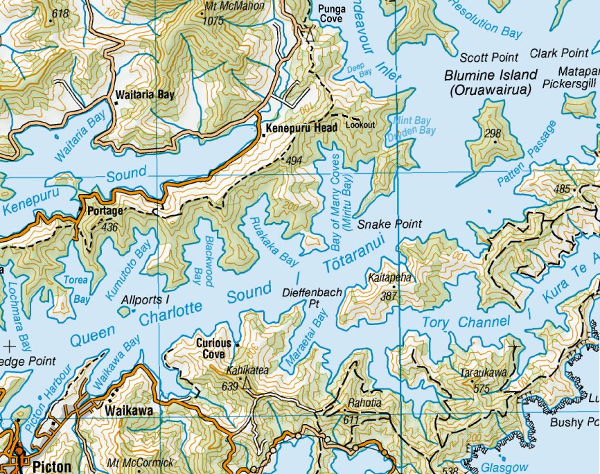
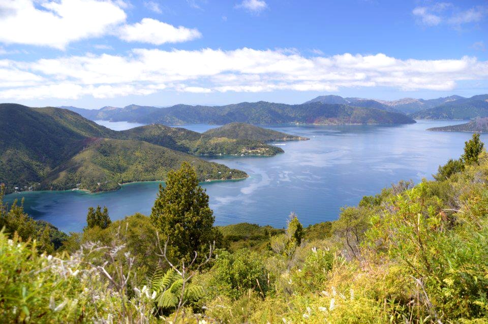
Monday 18th February 2013: This was our longest day (24.5km / 8 hours) but the one with the best views so most of the team decided to walk it rather than take the water taxi option. We started with a fairly quick climb up Akerbloms Road to the Kenepuru Saddle (180m) then along the ridge for quite a while until the turnoff to Eatwells Lookout (474m). The ridge track drops to 290m above the Bay of Many Coves before climbing to the highest point of 494m. We don't lose much height until just before the descent to Portage Resort Hotel.
Queen Charlotte Track - Day 3 (click to enlarge)
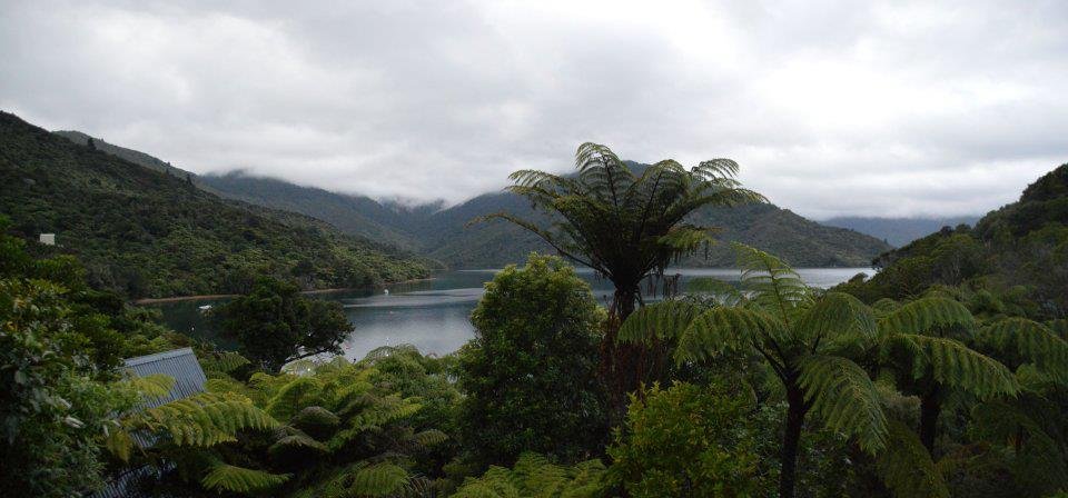
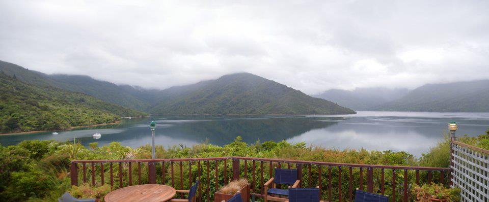
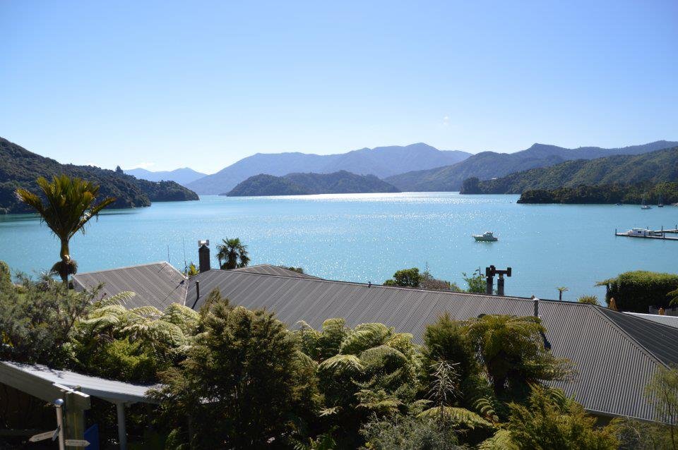
Morning view of Punga Cove from my room DSC_0402_stitch
Breakfast view at Punga Cove DSC_0403_stitch
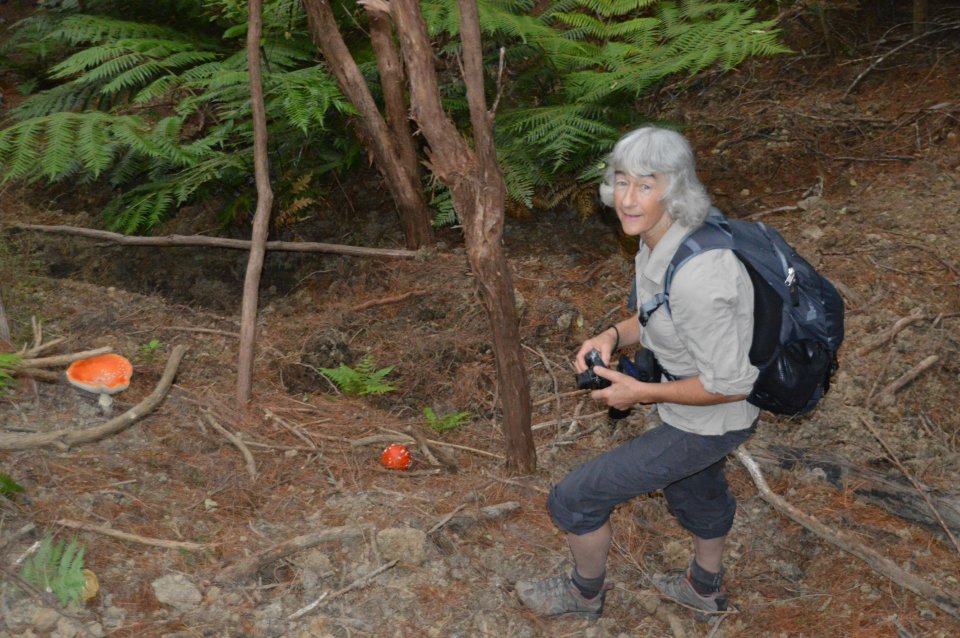
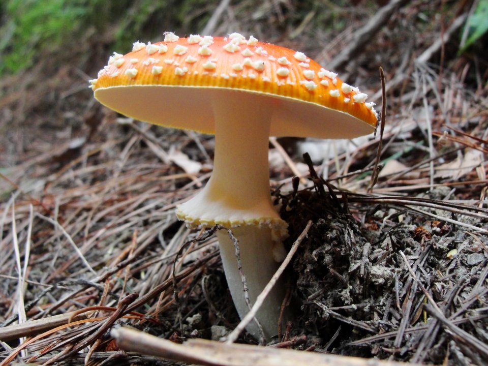
Cathy & Amanita muscaria DSC_0413
A great shot by Cathy CT_DSC01275
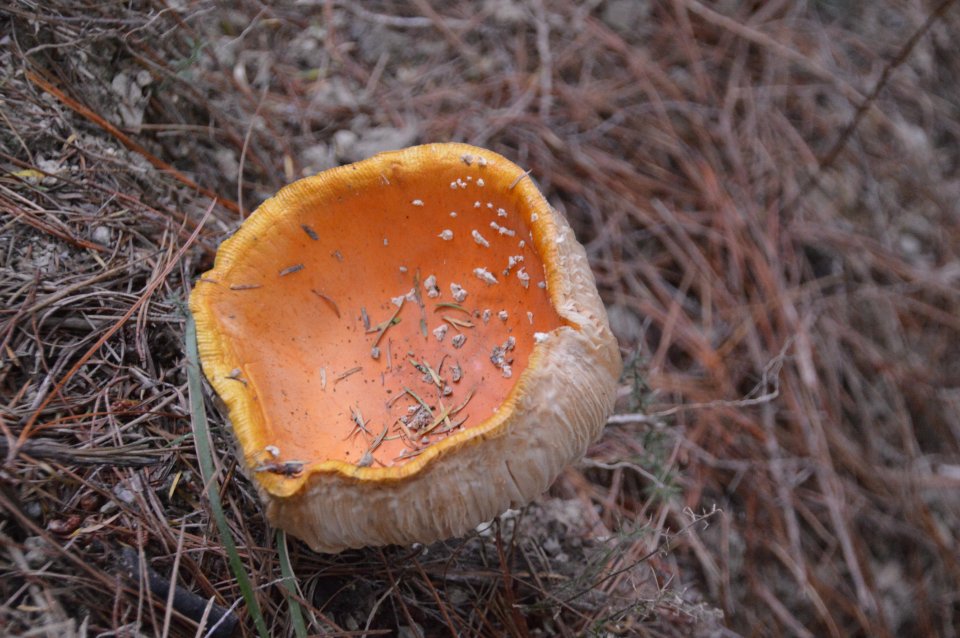
Much older Amanita muscaria DSC_0415
Amanita muscaria (Scarlet flycap) is normally scarlet but apparently it becomes concave and goes orange with age.
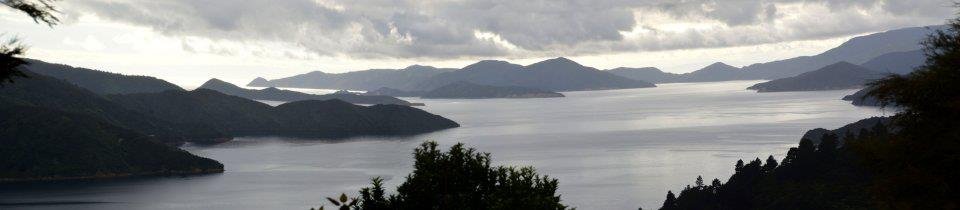
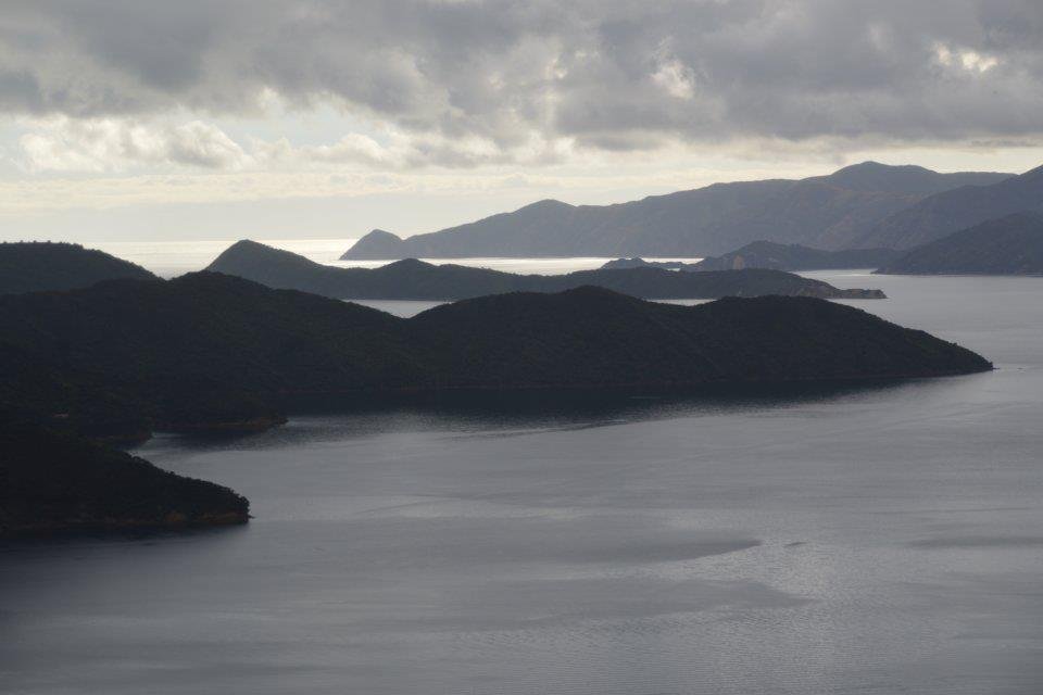
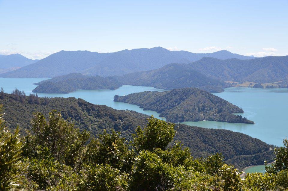
Composite - view out of Endeavour Inlet to Blumine and Arapaoa Islands DSC_0425_stitch_e (click to enlarge)
Long Is Queen Charlotte entrance DSC_0431aee
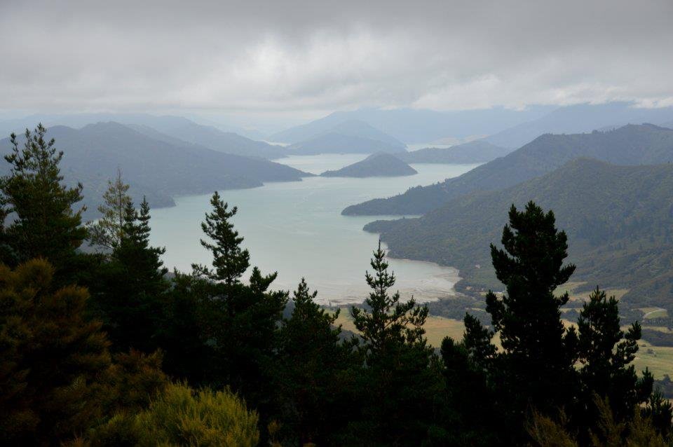
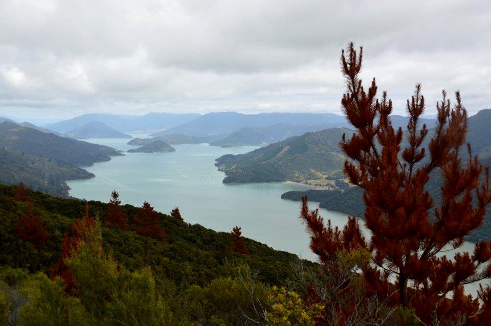
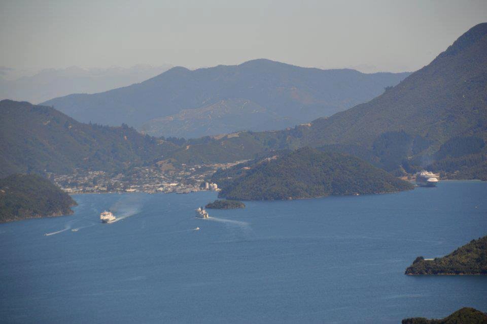
Top of Kenepuru Sound DSC_0460e
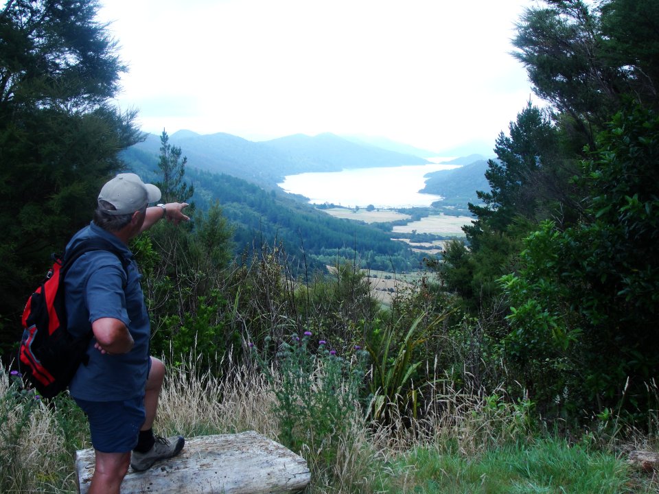
Graham descibing Kenepuru Sound CT_DSC01270
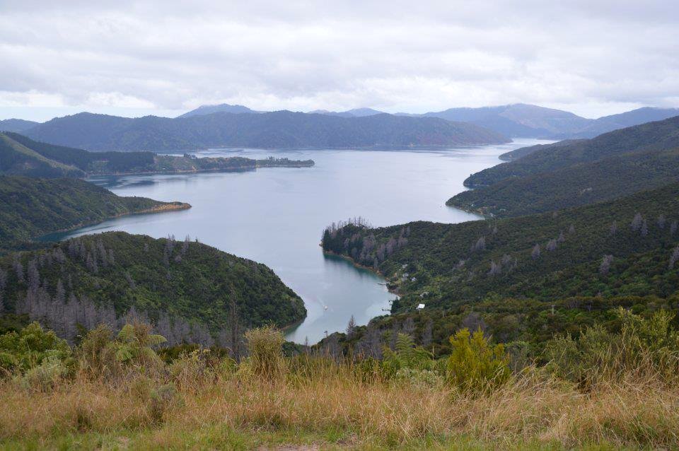
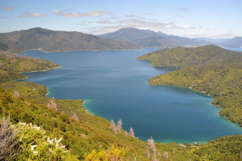
Eatwells Lookout DSC_0464ae
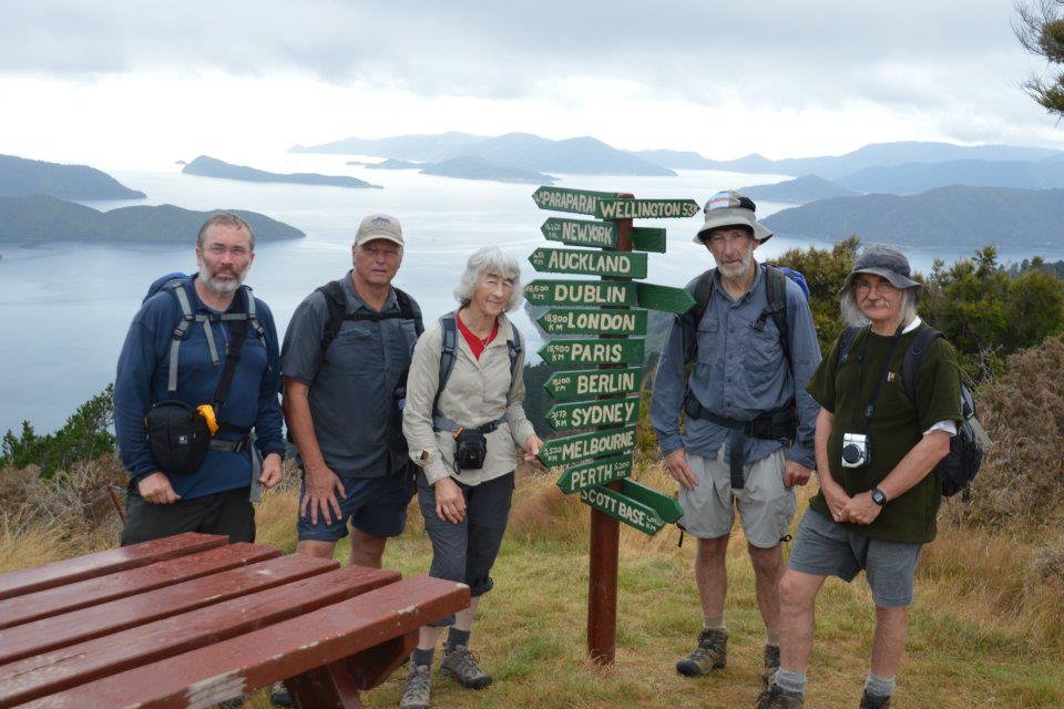
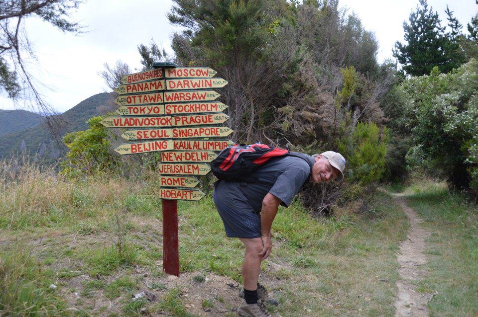
L-R: Keith, Graham, Kathy, John & Alan