|
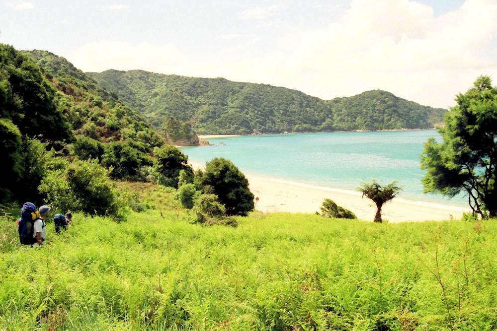
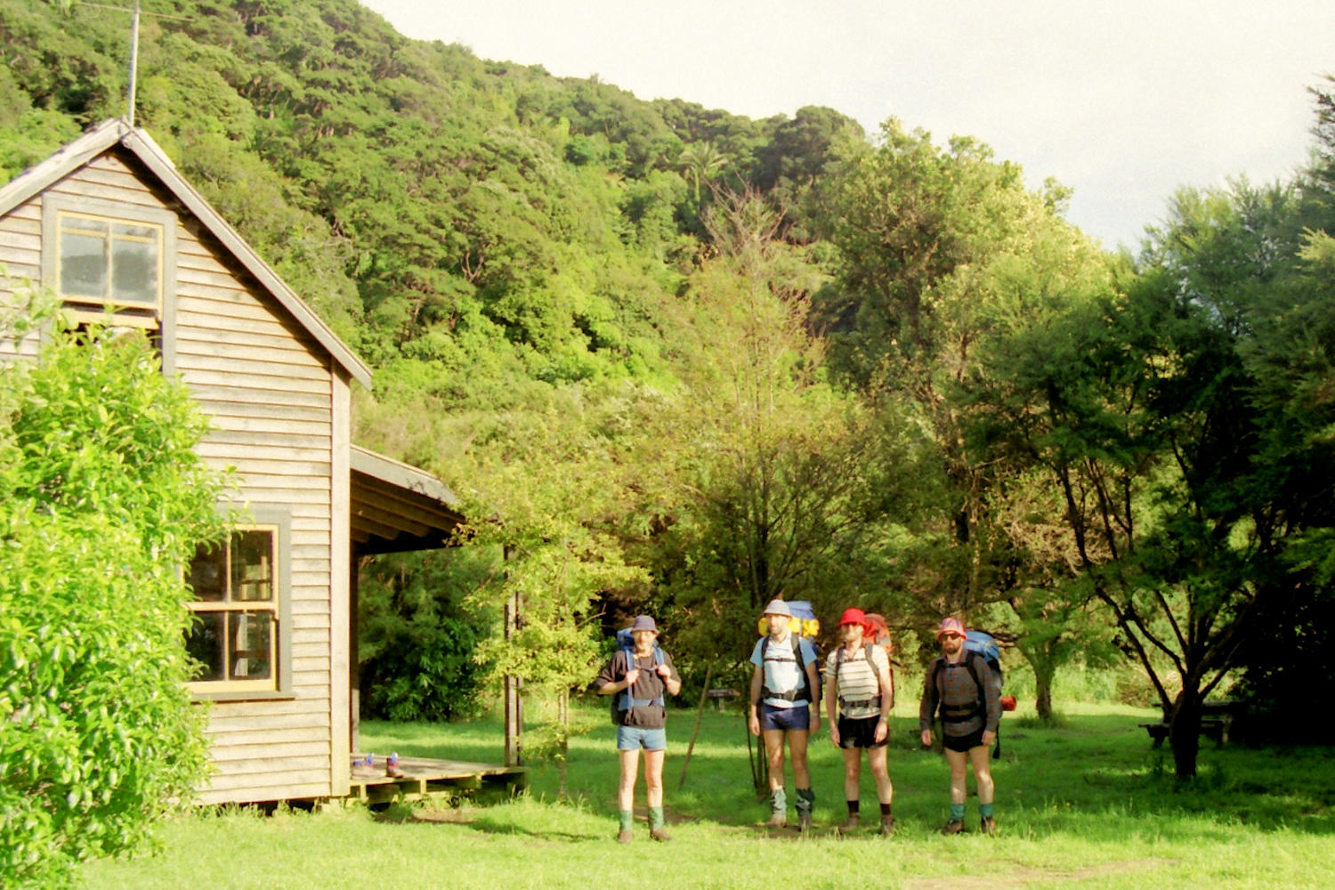
After crossing Awaroa Inlet, it's inland again to come back out at the top of Waiharakeke Bay (with a view back to Abel & Awaroa Heads), behind Ratakura Point, along Goat Bay and behind Skinner Point to Totaranui Beach. Here many trampers start or end their tramp on the launch Wai-ngaro, but we sent back our tent and collected alcohol and other essential supplies for the second part of the tramp! Anapai Bay saw some swimming. |
|||
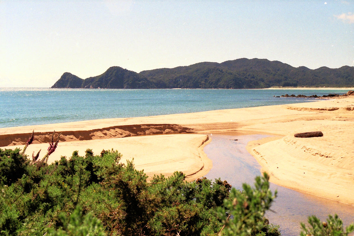 Waiharakeke Bay |
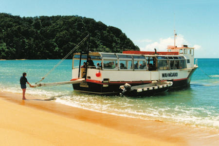 The Wai-ngaro at Totaranui |
||
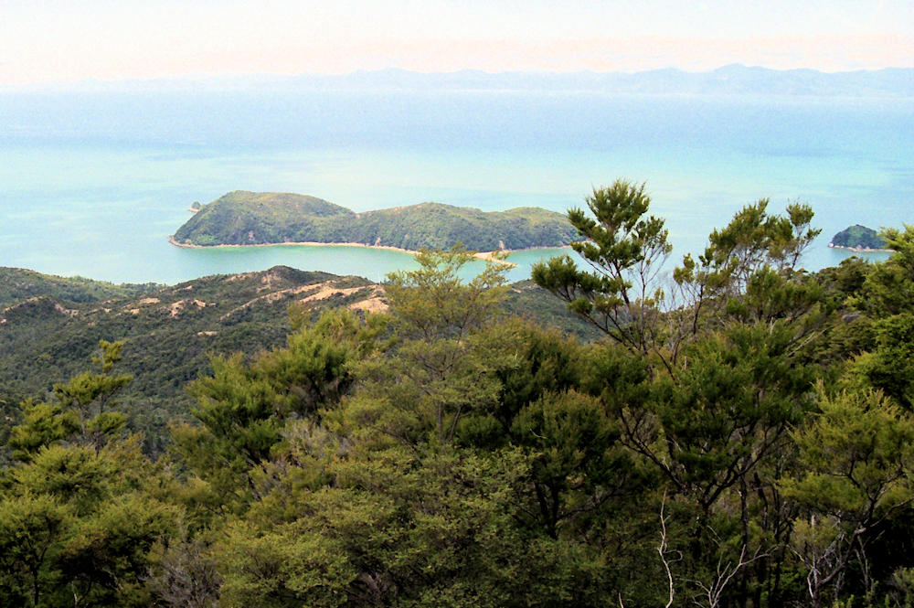
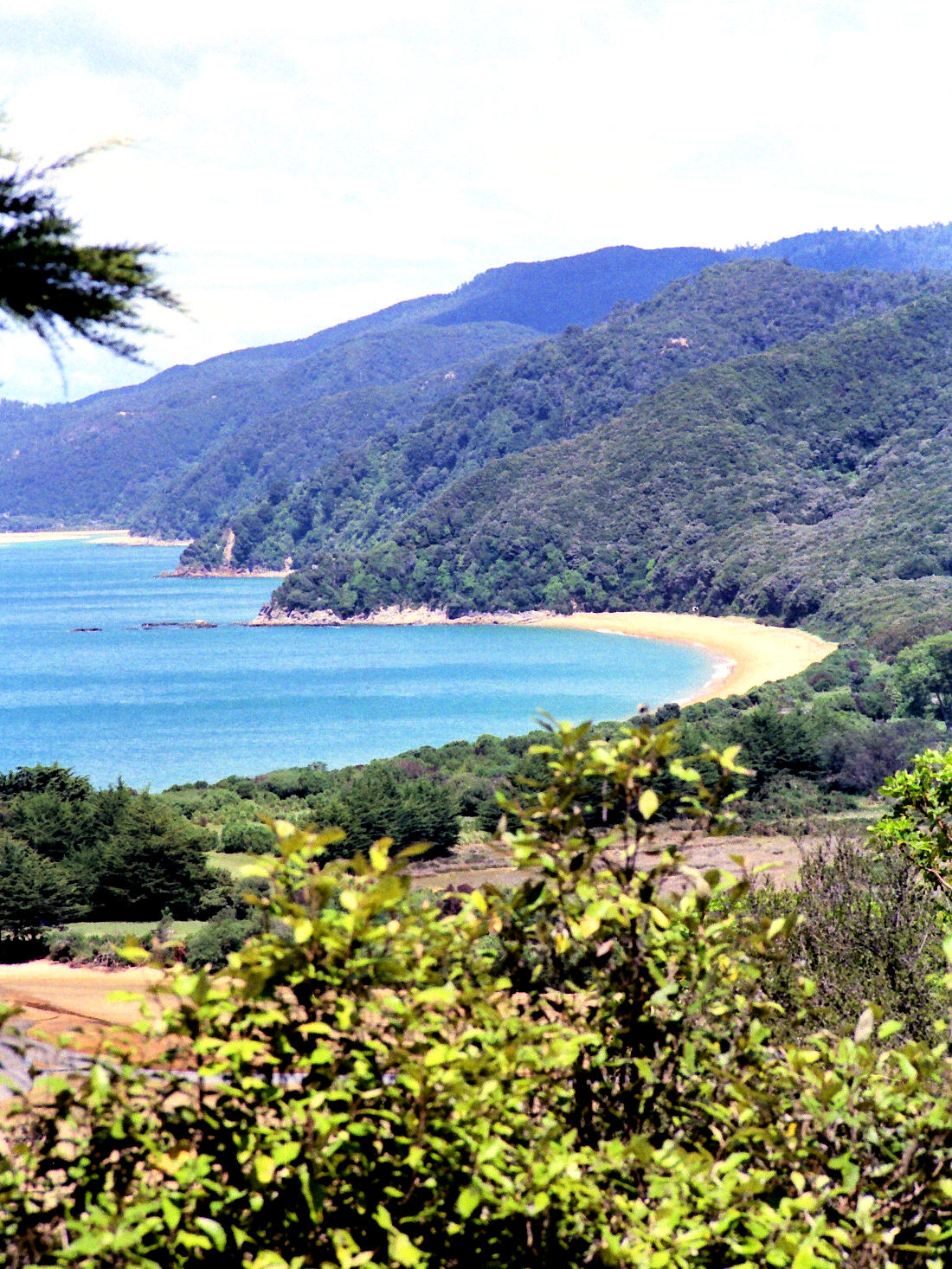 View back on Totaranui & Points |
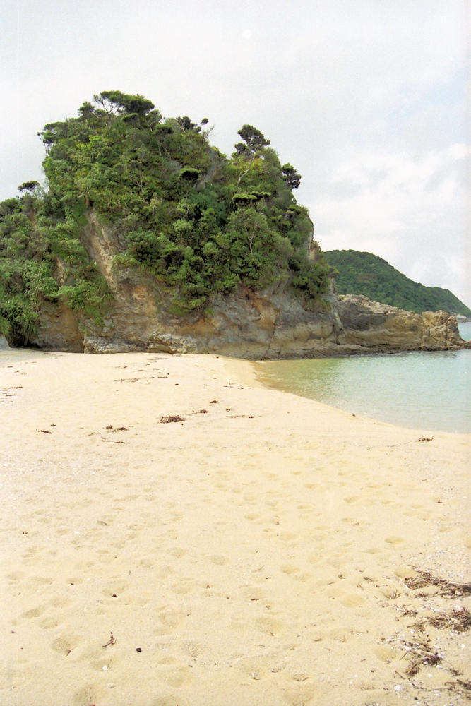
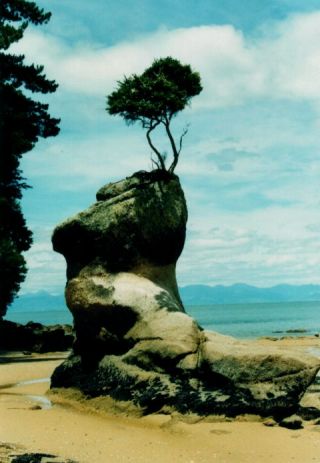
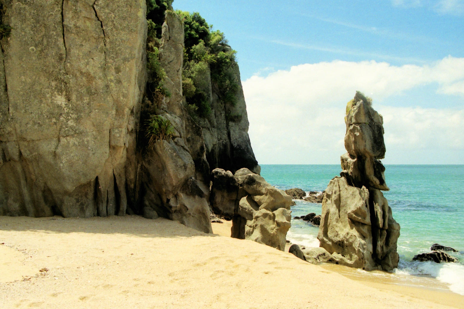 Rocks at Anapai Bay |
||
|
Mutton Cove, Separation Point and the Whariwharangi Hut are very nice and are missed by all the trampers using the ferry. |
|||
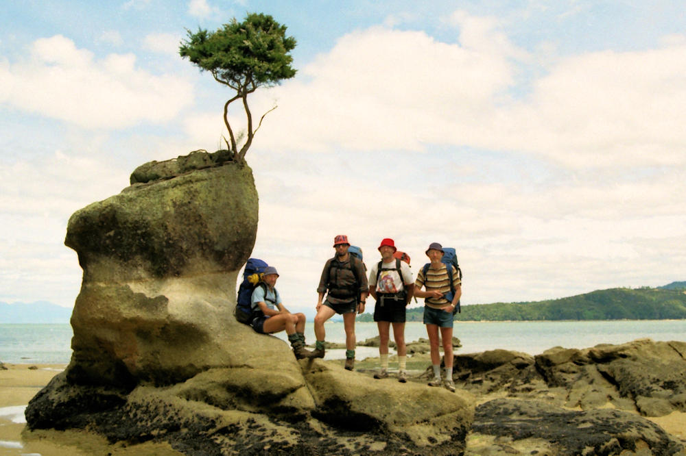
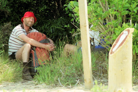 David at Anapai Bay |
 Mutton Cove |
||
 Mutton Cove |
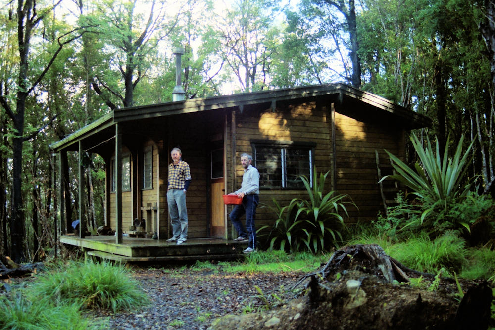
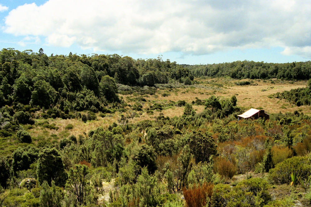
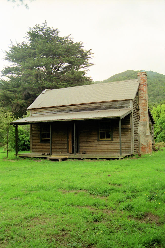 Whariwharangi Hut |
 Whariwharangi Hut |
|
|
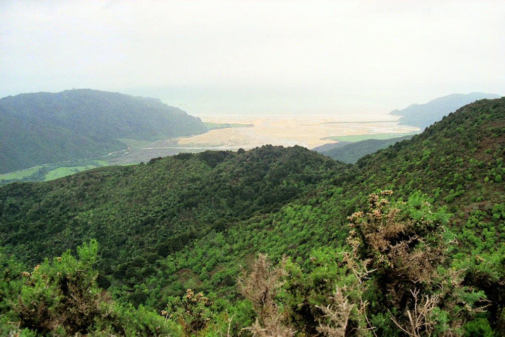
The 400m grunt up to Gibbs Hill came at a steady pace. After crossing the Totaranui Rd, one continues slowly up to Awapoto Hut (660m), then along Evans Ridge (1025m) to drop into Moa Park Hut which is in a basin with alpine plants below the bushline (something to do with trapped cold air). One starts getting good views of Anchorage and Astrolabe Roadstead as we descend via Castle Rock & Holyoake Clearing Huts to Tinline Bay. |
|||
 Wainui Bay view |
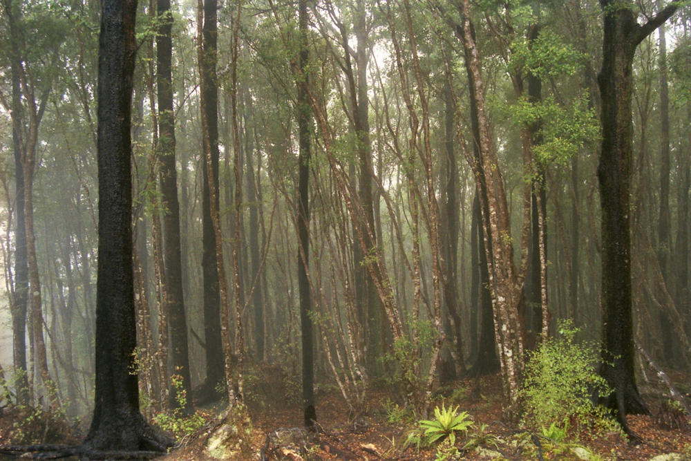 Inland Forest |
||
 Ian and John at Awapoto Hut |
 Ian, David and John on Evan's Ridge |
||
 Moa Park Basin |
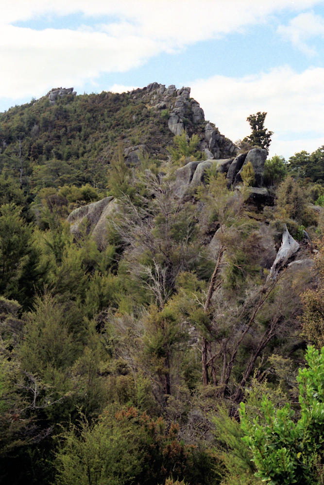 Castle Rocks |
||
 Astrolabe Roadstead |
 Shoe Rock, Tinline Bay |
||
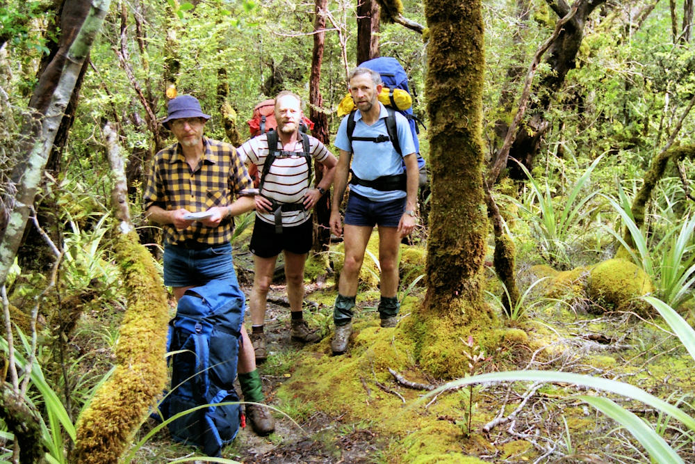
 John, Keith, David and Ian |
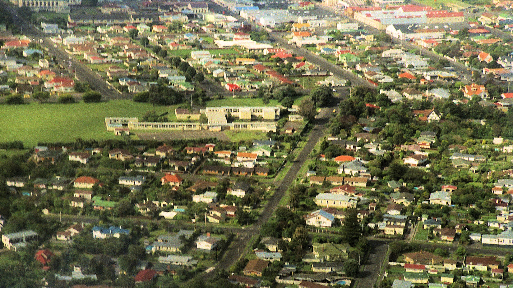 Home from the air |
||