|
Day 1: (Monday 19th Feb 2007) Those flying in were met at Queenstown airport by our guide Shayne O'Sullivan (ex Black Cap cricketer) and driven to Clyde where we met the rest and got sorted for bikes. On the way down I discovered my 2GB SD memory card was still plugged into my home computer and the new card purchased between flights at Christchurch had failed! To avert a serious lack of digital memory, I convinced Graham to take us down to Alexandra where a 1GB card was obtained. OK, so I'd have to be more frugal in taking pictures and more ruthless in deleting poorer shots... | |
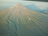
Heading past Mt Taranaki 003KB
|
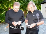
Synchronising cameras (KB & AR) 018IB
|
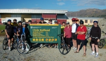
The whole group 032KB
|
|
Day 2: (Tuesday 20th Feb 2007 And off we went, keeping to the stone-free part of the track where others had been. Initially I was worried that the pace was too slow until I realised this gave me ample opportunity for composed photographs (instead of hurried snaps) and either speeding ahead to await the cyclists or hurrying to catch up!
Before Alexandra one passes vineyards, lifestyle blocks and the wooden Muttontown viaduct over a dry gully, then trail becomes more rural...
|
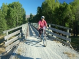
Vern crosses bridge 045KB
|
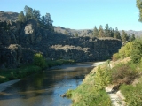
Manukerikia River 057KB
|
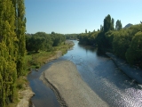
Manukerikia River 059KB
|
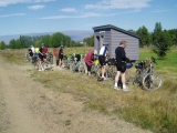
Galloway 084JC
|
|
Morning tea provided at Galloway was a pleasant surprise of local fruits and home baking. It was then back on The trail, which though dry, was often a changing scene. Our second crossing of Manukerikia River was this interesting wooden bridge, shortly before lunch at Chatto Creek. |
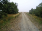
Into the distance 091VT
|
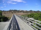
Manukerikia crossing 109VT
|
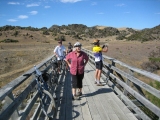
Manukerikia viewing 112IB
|
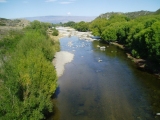
Jim's Manukerikia view 113JC
|
|
I was able to move "off trail" for views like below.
|

My view of the Manukerikia bridge 115KB
|
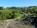
Looking onto Chatto Creek 120KB
|
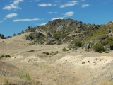
Rocks & Rabbit warrens 121KB
|
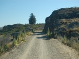
On goes the trail 123KB
|
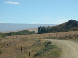
Rock features 124KB
|
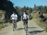
Malcolm & John 129KB
|
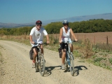
Malcolm & Jenny 130KB
|
|
Having a few drinks then a set lunch at a tavern is quite a change from our tramping fare! I heard no complaints though...
It was then away to head up Tiger Hill.
|
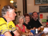
Jim, Cathy, Viv et moi 137MT
|
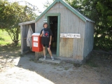
Dianne & Chatto Creek PO 142IB
|

Foothills 170KB
|
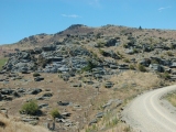
commencing Tiger Hill 179KB
|
|
Wide bends make Tiger Hill quite an easy ascent with a rather smooth looking Raggedy Range to the Southeast and the Dunstan Mountains Northwest.
|
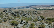
View SW back to Raggedy Range 180KB
|
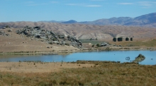
View south over Raggedy to Knobby Range 183KB
|
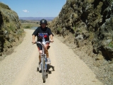
Dianne on Tiger Hill 185JC
|
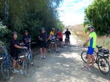
First shade on Tiger Hill 193KB
|
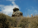
Rock column by shade 195KB
|
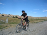
Alan heads downhill 197IB
|
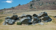
typical formation 201KB
|
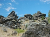
Faces in the rocks 203KB
|
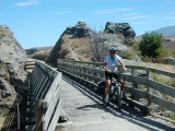
Another bridge & cyclist 205IB
|